
Once these drafts can be finalized, plans for a hearing of Phase 1 of the claim can be made which the Tribunal would be willing to hear in the community. Lastly, Justice Paul Mayer has been assigned the FRCN claim which was originally being heard by Justice Harry Slade. Justice Mayer is a big proponent of mediation – and likely he would strongly urge the parties to consider this as an option to settle the claim. Although there has not been any claims settled through mediation under the Tribunal, we would be open to all channels available that best meets the benefits of FRCN.
Allegations of Fact
7. The Claimant’s Chief Rundle signed Treaty Number 5 on September 24, 1875, concluded at Norway House, Manitoba. Treaty No. 5 specifically made reference for reserve allotment for the Claimant, stating: …Her Majesty the Queen hereby agrees to lay aside a reserve on the west side of Lake Winnipeg, in the vicinity of Fisher River, so as to give one hundred acres to each family of five, or in that proportion for larger or smaller families. …
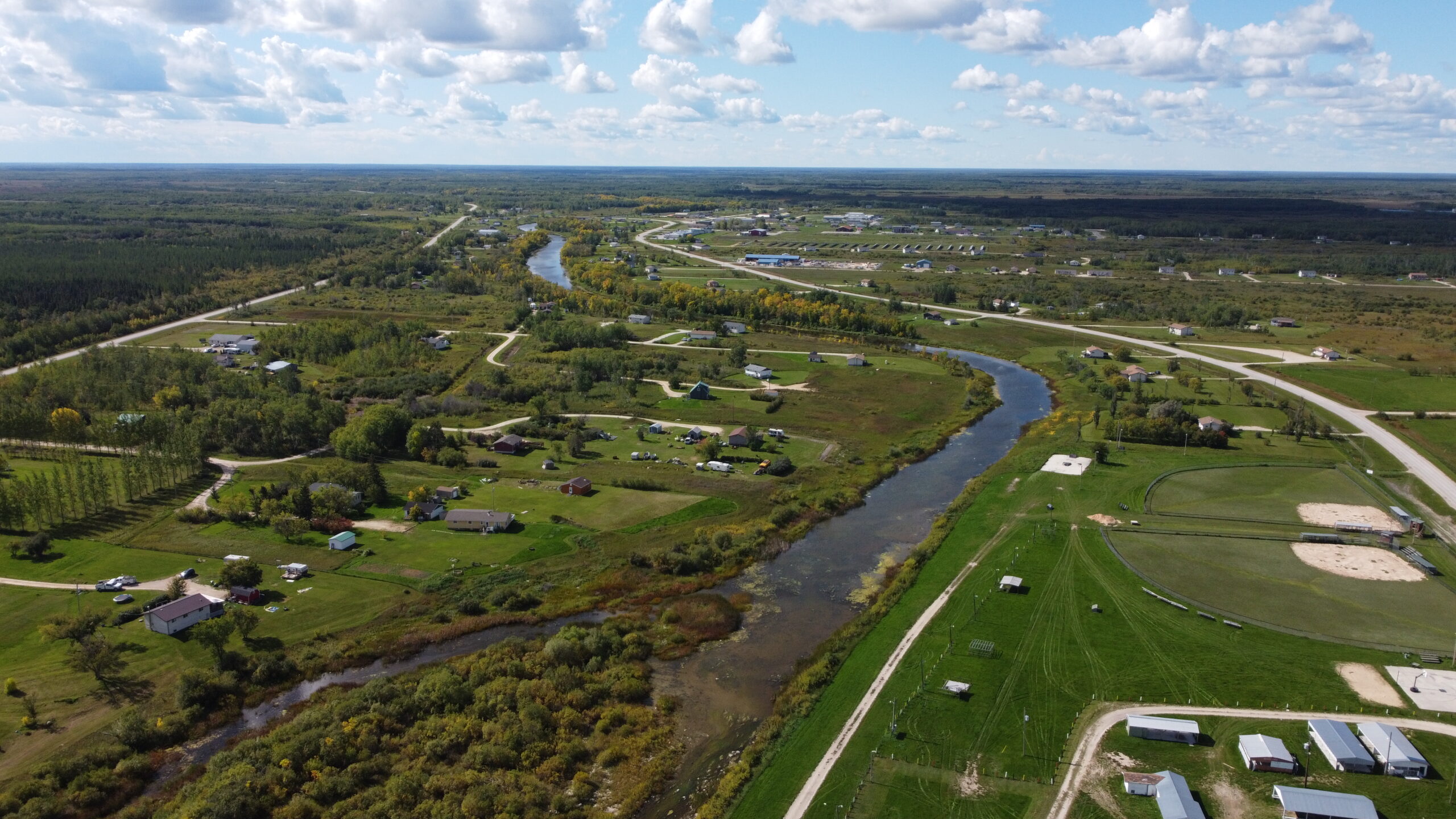
8. In 1877, J.S. Dennis, D.L.S., surveyed Fisher River Reserve and the area originally surveyed for the reserve was 9,000 acres.
9. In 1883 Chief David Rundle, asked special permission from Indian Agent Mckay to cut hay outside the reserve boundary since there was not enough hay on the reserve to provide for their cattle. Again, on September 18, 1886, Chief Rundle made a formal request to Mr. E. McColl, Inspector of 4 Indian Agencies to have the reserve increased for more hay lands (Southeast Addition) and for lands with more spruce timber (Southwest Addition) since the current reserve could not provide enough timber for houses and other buildings and agricultural requirements.
10. The request for hay lands and timber lands from Chief Rundle was recommended by Mr. McColl and Mr. L. Vankoughnet, Deputy Superintendant General of Indian Affairs (the “DSGIA Vankoughnet”) in 1887. On January 24, 1887 McColl made a report to The Right Honourable, The Superintendant General of Indian Affairs, where McColl forwarded the request for a grant of hay land near the mouth of the river and one of spruce timber along the southern boundary may be added to their reserve.
11. On January 29, 1887 DSGIA Vankoughnet wrote to Mr. A.M. Burgess, Deputy Minister of the Interior providing a written description of the lands required for the Southeast Addition and recommending the request of Chief Rundle.
12. In July 14, 1994 Alex Gauer, of the Regional Surveyor’s Office, Legal Surveys Division wrote to Martin Beardy of the Treaty and Aboriginal Rights Research Centre Manitoba indicating that the approximate acreage of the Southeast Addition, based on the DSGIA Vankoughnet’s January 29, 1887 letter, would have equalled 3,777 acres more or less.
13. On March 11, 1887, John R. Hall, Secretary, Department of the Interior wrote to DSGIA Vankoughnet indicating that his Department saw no objection to the granting of this application but that it be necessary that the rights of any settlers not be interfered with within the tracts of the application.
14. On March 15, 1887 DSGIA Vankoughnet wrote to Mr. A.M. Burgess, Deputy Minister of the Interior to inform him that he had complied with the Deputy Minister’s earlier request to confirm that there were no 5 objections to the Fisher River Band’s grant of hay and spruce timber lands as additions to their Reserve and that since the tracts were within unsurveyed territories, there were no settlers to be disturbed.
15. On March 21, 1887 Inspector of Indian Agencies E. McColl wrote to The Right Honourable The Superintendant General of Indian Affairs (Sir John A. Macdonald) to inform that the Department of Interior had no objection to the application by the Fisher River Band for a grant of hay and spruce timber land to be added to their reserve.
16. On November 23, 1892, Mr. E. McColl, Inspector of Indian Agencies, wrote, on behalf of the Fisher River Band, to DSGIA Vankoughnet with another request that both an enlargement of farming and meadow lands occur. The request asked for enlargements to occur on lands up river and laterally. McColl also noted that since more families were relocating to the Fisher River Reserve than originally anticipated, more land would also be required, since only 100 acres per family of five was set aside originally at this reserve. The Claimant submits that with the added influx of people from Norway House, there was a duty imposed upon the Dominion Crown to ensure that a complete allotment of the Claimant’s treaty right to land occurred.
17. On December 1, 1892 DSGIA Vankoughnet wrote to Mr. E. McColl indicating that more definite information as to the locality and area of the additional lands must be furnished.
18. On January 5, 1893 Mr. E. McColl replied to Vankoughnet’s December 1, 1892 letter, stating that …they request the Reserve be extended westward a distance of two miles from its present western boundary. The extension to be the same in extent from North to South as the present reserve, or 225 chains. They also wish the reserve to be surveyed so as to make the lots on both sides of the river as nearly the same in extent and frontage as possible. 6 McColl’s letter failed to include the Southeast Addition as agreed to earlier by the federal representatives.
19. On January 27, 1893, DSGIA Vankoughnet wrote to the Acting Minister of the Interior seeking to have the application of the Fisher River Band extended as set forth in an attached sketch. The said sketch only shows the Southwest Addition of 3,600 acres, without including the Southeast Addition as agreed to.
20. After several years of internal communication, Order-in-Council P.C. No. 1978 was passed on July 8, 1893. OCPC No. 1978 only provided for setting apart the Southwest Addition, which calculated to an addition of 3,600 acres. OCPC No. 1978 stated in part, …that the Indians of the Fisher River Reserve, in the Province of Manitoba, are desirous of having their reserve extended Westward a distance of two miles, and North and South a distance of two hundred and twenty five chains on either side of the Fisher River, the reserve to be surveyed so as to make the Lots of equal depth on both sides of the River. … The Minister therefore recommends that Your Excellency grant authority to have the reserve in question be surveyed in accordance with the above description, and set apart for the use and benefit of the Fisher River band of Indians. …
21. The sketch that was attached to the OCPC No. 1978 also noted that the addition required 3,600 acres.
22. The Claimant states that once the federal government, in the Spring of 1887, agreed to set aside the requested lands as reserve for the Claimant, these lands became a “reserve” within the meaning of section 2(k) of the Indian Act, 1886. In the alternative, the Claimant states that the reserve creation date of the additional lands is the date of OCPC No. 1978, dated July 8, 1893.
23. On September 8, 1893 Lyndwood Periera, Assistant Secretary, Department of the Interior, wrote to the DSGIA enclosing a copy of OCPC 7 No. 1978 where the Governor in Council assented to the extension asked for in the DSGIA’s January 27, 1893 letter.
24. From September 23-26, 1895 the additions to the Fisher River Reserve were surveyed by Mr. J.C. Nelson, D.L.S. His field notes were so atrocious that there were re-copied as an Addition to Field Book #24.
25. On April 29, 1896 the Plan showing Additions to the Fisher River Indian Reserve as surveyed by the late J.C. Nelson, D.L.S. and drawn by W.A. Austin, D.L.S. is designated in the Indian Affairs Survey Records as No. 46. The Southwest Addition is sketched as 4 square miles (2,560 acres) and not as 3,600 acres as directed in OCPC No. 1978. The Southeast Addition is sketched as 2,052 acres, and not as the 3,777 acres requested and agreed to earlier by the DSGIA.
26. On June 2, 1896 W.A. Austin, D.L.S. in a memo to the Deputy Minister of Indian Affairs, forwarded the Plan of the Additions made to the Fisher River Indian Reserve with a copy of same to the Department of the Interior and Mr. McColl on behalf of the Indian Agent.
27. In a memo dated June 16, 1896 Mr. P.B. Symes, Department of the Interior wrote to the Surveyor General concerning the extension of the Fisher River Indian Reserve indicating that the western extension is a portion set apart by the OCPC of July 1893 and the eastern extension is a portion agreed to by this Department in 1887 but that it did not appear to have been set apart by the OCPC 1978 of July 1893.
28. In a follow-up memo dated June 17, 1896, Mr. E. Deville, Surveyor General wrote to the Deputy Minister of the Interior (Mr. Burgess) regarding the extensions to the Fisher River Indian Reserve, reiterating that the western extension was confirmed by OCPC 1978 but not the eastern extension, being agreed to by the Department in 1887. Mr. Deville suggested that a report to Council be made confirming the extensions and cancelling OCPC 1978 of July 1893. The marginalia within that memo 8 stated “Approved-please prepare the necessary memorandum. 23 June 96 AMB.”
29. In a memo dated June 26, 1896 from P.B. Symes to the Surveyor General, with respect to the additions to the Fisher River Indian Reserve, Symes reported that the eastern addition is a portion that agreed to by the Department of the Interior in 1887 but was not set apart by Order in Council. The memo also outlined that the western addition is part of land set apart for the Indians by the July 1893 OIC. Mr. Symes asked if these were all the lands that the Indians required, and that if it was, the July 1893 OIC should be cancelled.
30. In reply on June 26, 1896, Surveyor General Deville wrote back to Deputy Minister Burgess referring to Symes’ memo of the same date, suggesting confirmation if this was all the Indians required and if the same timber and water restriction should remain as from the July 1893 OIC. The marginalia noted to prepare a letter to Mr. Reed accordingly and yes to the water and timber restrictions (June 30, 1896 D.M.I.).
31. On July 7, 1896 Mr. Burgess, Deputy Minister of Interior, wrote to Hayter Reed, Deputy Superintendant General of Indian Affairs (“DSGIA Reed”), indicating that the eastern addition is a portion which was agreed to reserve for the Indians in 1887 but was never set apart by OIC and that the western portion was set apart by the July 1893 OIC. Burgess opined that if these two additions were all the lands required by the Indians, the transaction will be closed by obtaining an OIC confirming the survey, but if more lands are required it will be necessary to have further information so that Council could understand clearly what is intended.
32. On July 9, 1896, DSGIA Reed replied to Deputy Minister Burgess confirming that these were all the lands needed for the Indians and that there was no objections to maintaining certain water and timber reservations. 9
33. On July 14, 1896 a draft memo to Council recommending approval of the extensions to the Fisher River Indian Reserve was written by Surveyor General Deville. An unsigned copy of the memo with draft recommendations was also sent to DSGIA Reed. The memo partly states: …These two additions have since been surveyed by Dominion Land Surveyor J.C. Nelson for the Department of Indian Affairs and the plan is submitted herewith. They include only a portion of the lands which were asked for in the first instance, but the Deputy Superintendant General of Indian Affairs states that they are deemed to be all the lands needed by the Indians at that place. It is therefore respectfully recommended that the former reservations and the Order in Council of the 8th of July 1893 be cancelled and that the lands shown on the plan herewith be withdrawn from the operation of the Dominion Lands Act, subject to the existing rights as defined or created thereunder. …
34. On August 25, 1896 the Governor General in Council accepted the recommendations and Order in Council P.C. No. 2980 was passed, stating in part: … is pleased to order that the lands, situate on the Fisher River, in the Province of Manitoba, as shewn (sic) on the plan hereto annexed, and comprising two tracts of four square miles and three and twenty-one hundredth square miles, respectively, be withdrawn from the operation of the Dominion Lands Act, subject to the existing rights as defined or created thereunder, and set apart for the use of the Indians of the Fisher River Band; and that the former reservations and the Order in Council of the 8th of July, 1893, be cancelled. …
35. The Plan Showing Additions to the Fisher River Indian Reserve as surveyed in September 1895 by the late J.C. Nelson, D.L.S. and drawn by Mr. W.A. Austin, D.L.S. in April 29, 1896 and “the plan hereto annexed” referred to in Order in Council P.C. Number 2980 dated August 25th 1896 is designated in the Indian Affairs Survey Records as No. 46.
36. Due to the fact that the late J.C. Nelson’s field notes were so poorly written, Mr. Austin D.L.S. had to rewrite the said field notes which likely would easily have been misinterpreted. This no doubt was one of many factors which caused the Claimant not to have received its full complement 10 of reserve land as it had been understood and agreed upon by the Respondent.
37. The Respondent thus breached its original agreement to set aside the higher acreage; failed to correct the survey error and approved the 1896 Order in Council contrary to the original 1887 agreement and the July 8, 1893 Order in Council.